
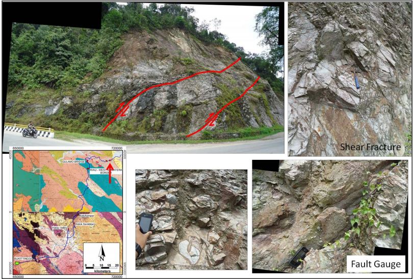
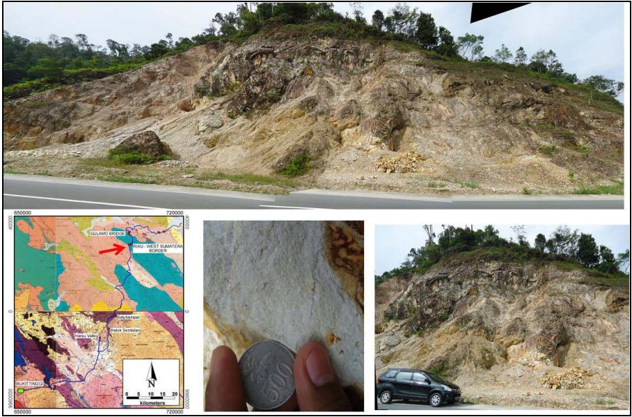
The field trip is designed to cover outcrops from the East Barisan Range, the Central Ombilin Basin, and Talawi Subbasin west part of Central Sumatra Basin. Due to logistic complications we are unable to proceed through the stratigraphic column from oldest to youngest rock. Instead, we are forced to jump around in the sequence to fit in as many stops as possible. Central Sumatera Basin is the biggest basin in Southeast Asia with more than 26 Billion barrels of reserve (C&C Reservoir, 1998). Central Sumatera Basin is composed by some synrift sub-basin that become source of hydrocarbon, such as Sub-basin Aman, Kiri, Balam, Bengkalis, and Rangan. The convergent tectonic setting (subduction) between Hindia Oceanic Plate and Eurasia Continental Plate control formation and development of Central Sumatera Basin. Tectonic regime domination cause that Central Sumatera Basin is a multi-history basin or basin that had have tectonic framework alternation during the evolution.
continue reading......
continue reading......
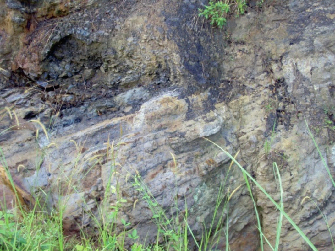
This field trip focuses on the Eocene Bayah Formation and Oligo-Miocene limestone of Citarate or rajamandala Formation. Koolhoven (1933) first described the Bayah Formation from the vicinity of Bayah, SW Java, as consisting of two facies, Northern and Southern. The Bayah cropping out north of Cimandiri Village is dominated by black clays, concoidal, with rare limestone intercalations (Northern Facies). The clays are devoid of fossils, except that they contain large, thin Oppreculina in the lowermost part. continue reading....
Outcrop (Rock Formation That is Visible on The Surface)


East Java Basin has been actively receiving sediments for much of Tertiary rime. There is no evidence of old continental crust existence in East Java and most of existing land mass did not exist before early Tertiary time (Smyth et al., 2003). This basin was, and still is, tectonically a very active zone. The products of a modern active volcanic arc and an early Tertiary volcanic arc are widespread and sedimentary basins are situated behind the ancient arc where there are thick sequences of Tertiary sediments and important accumulations of hydrocarbons. continue reading...
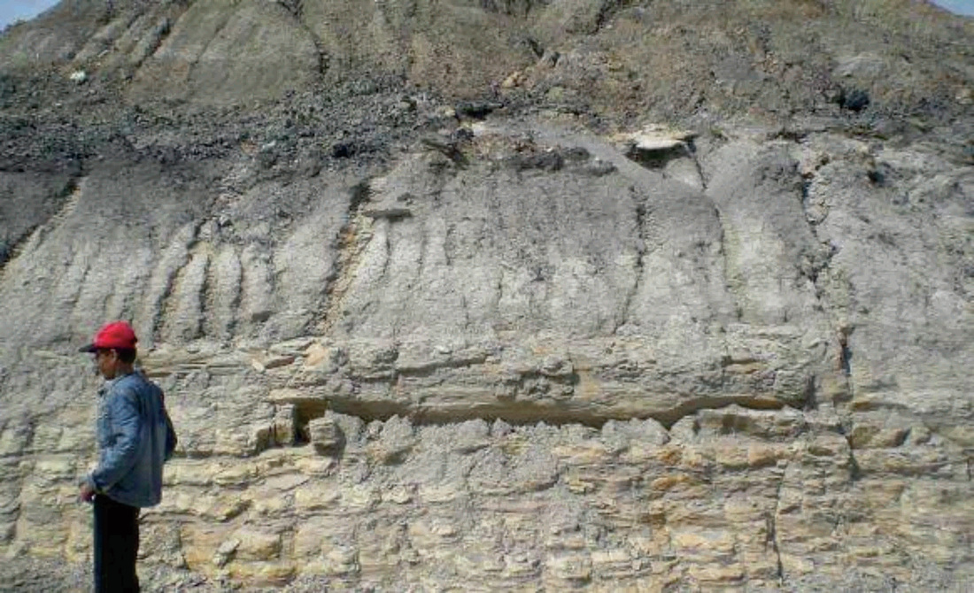
The Barito Basin is one of numerous sedimentary basins in SE Asia which formed during the early Cenozoic. The present-day Barito Basin covers an area of approximately 70,000 km of which most is onshore in southeast Kalimantan. The basin is separated from the significantly smaller Asem–Asem Basin to the east by the Meratus Mountains. Both basins contain a thick succession of sedimentary rocks that are well exposed along the flanks of the Meratus Mountains (Witts et al, 2012). Barito Basin has good source rock potential, the total estimation of 200 million barrels of proven recoverable oil made Barito Basin ranked last among the Circum-Sunda Basins. Its poor performance – compared to the adjacent Kutai basin - has raised a big question which Mason et al (1993) name it Barito Dilemma. The field trip leader will present their interpretation of sedimentary facies, structure and depositional environment of several outcrop. continue reading...
IAGI Learning Centre ©2016